

JAKARTA, teckknow.com – Lidar Scanners: 3D Mapping and Environmental Sensing—yeah, they’re not just buzzwords, they’re changing the game. I remember my first hands-on with a Lidar scanner; honestly, I was more excited than I care to admit. And you know what, I also made some classic rookie mistakes (read on so you don’t repeat them!).
Lidar scanners have revolutionized the way we capture and analyze spatial data, enabling precise 3D mapping and environmental sensing across various industries. From urban planning and forestry to archaeology and disaster management, Lidar technology has proven to be a powerful tool. In this article, I’ll share my real takeaways from working with Lidar scanners, highlighting both the epic wins and notable fails encountered along the way.
What are Lidar Scanners?
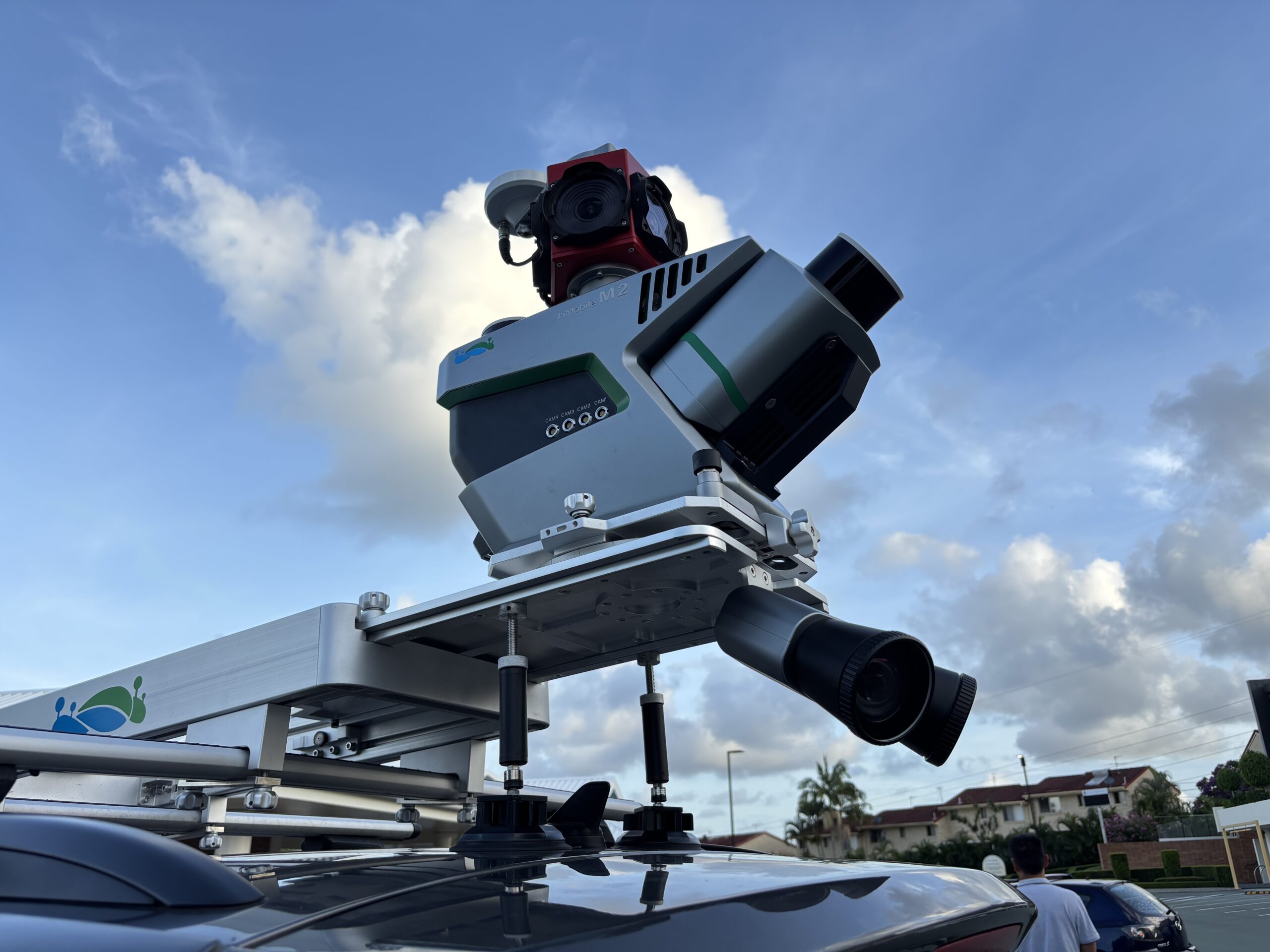

Lidar, which stands for Light Detection and Ranging, is a remote sensing technology that uses laser light to measure distances to the Earth’s surface. A Lidar scanner emits rapid pulses of laser light and records the time it takes for the light to bounce back after hitting an object. This data is then processed to create detailed 3D models of the scanned environment.
Lidar scanners can be ground-based, airborne, or mobile, each offering unique advantages depending on the application. The resulting data is invaluable for creating high-resolution topographic maps, monitoring vegetation, and assessing changes in landscapes over time.
Epic Wins with Lidar Scanners
1. Precision in Mapping
One of the most significant advantages of Lidar scanners is their ability to produce highly accurate 3D maps. In a project involving urban planning, we utilized Lidar data to create detailed models of the cityscape, allowing planners to visualize infrastructure and assess potential impacts on the environment. The precision of Lidar data enabled us to identify areas for development while preserving green spaces, leading to a more sustainable urban design.
2. Vegetation Analysis
Lidar technology excels in analyzing vegetation structure and health. In a forestry project, we used Lidar to assess tree height, canopy density, and biomass. The data helped forestry managers make informed decisions about sustainable logging practices and conservation efforts. By accurately mapping forest resources, we were able to promote biodiversity and enhance ecosystem management.
3. Disaster Management
Lidar scanners have proven invaluable in disaster management and recovery efforts. After a major flood, we employed Lidar data to assess the extent of the damage and identify areas at risk of future flooding. The high-resolution elevation models created from Lidar allowed emergency responders to develop effective evacuation plans and allocate resources efficiently, ultimately saving lives and reducing recovery time.
Notable Fails with Lidar Scanners
1. Data Overload
One of the challenges we faced was managing the sheer volume of data generated by Lidar scanners. In one project, we collected extensive Lidar data over a large area, resulting in terabytes of information that overwhelmed our processing capabilities. The excessive data made it difficult to extract meaningful insights in a timely manner. To mitigate this issue, we learned to implement better data management practices and prioritize the most relevant datasets for analysis.
2. Environmental Interference
During a Lidar scanning project in a dense forest, we encountered significant challenges due to environmental interference. The presence of thick foliage and varying terrain affected the accuracy of the Lidar readings, resulting in gaps in the data. In this case, we had to combine Lidar data with other remote sensing techniques, such as photogrammetry, to fill in the missing information and achieve a complete understanding of the landscape.
3. Cost Considerations
While Lidar technology offers incredible advantages, the costs associated with high-quality Lidar scanners and data processing can be prohibitive. In one instance, we underestimated the budget required for a comprehensive Lidar project, leading to financial constraints that limited our ability to conduct thorough analyses. This experience taught us the importance of accurate budgeting and exploring alternative funding sources to support Lidar initiatives.
Key Takeaways
- Lidar Scanners Provide Unmatched Precision: The accuracy and detail offered by Lidar technology make it an essential tool for a wide range of applications, from urban planning to environmental monitoring.
- Data Management is Crucial: Effective data management strategies are essential to handle the large volumes of information generated by Lidar scanners. Prioritizing datasets and utilizing efficient processing techniques can enhance productivity and insights.
- Environmental Factors Matter: When conducting Lidar surveys, it’s important to consider environmental factors that may affect data quality. Combining Lidar with other remote sensing methods can improve overall accuracy and completeness.
- Budget Wisely: Understanding the costs associated with Lidar projects is critical for successful implementation. Accurate budgeting and exploring funding opportunities can help overcome financial barriers.
Conclusion
Lidar scanners have transformed the landscape of 3D mapping and environmental sensing, offering unparalleled precision and insights into our world. While my experiences with Lidar technology have included both epic wins and notable fails, the overall impact of this technology is undeniable. By learning from these experiences, we can continue to harness the power of Lidar scanners to advance our understanding of the environment, improve decision-making, and promote sustainable practices across various sectors. Whether you’re a researcher, planner, or conservationist, embracing Lidar technology can lead to innovative solutions and a deeper appreciation for the complexities of our planet.
Explore our “Technology” category for more insightful content!
Don't forget to check out our previous article: Tech Policy: Shaping Regulations for the Digital World

